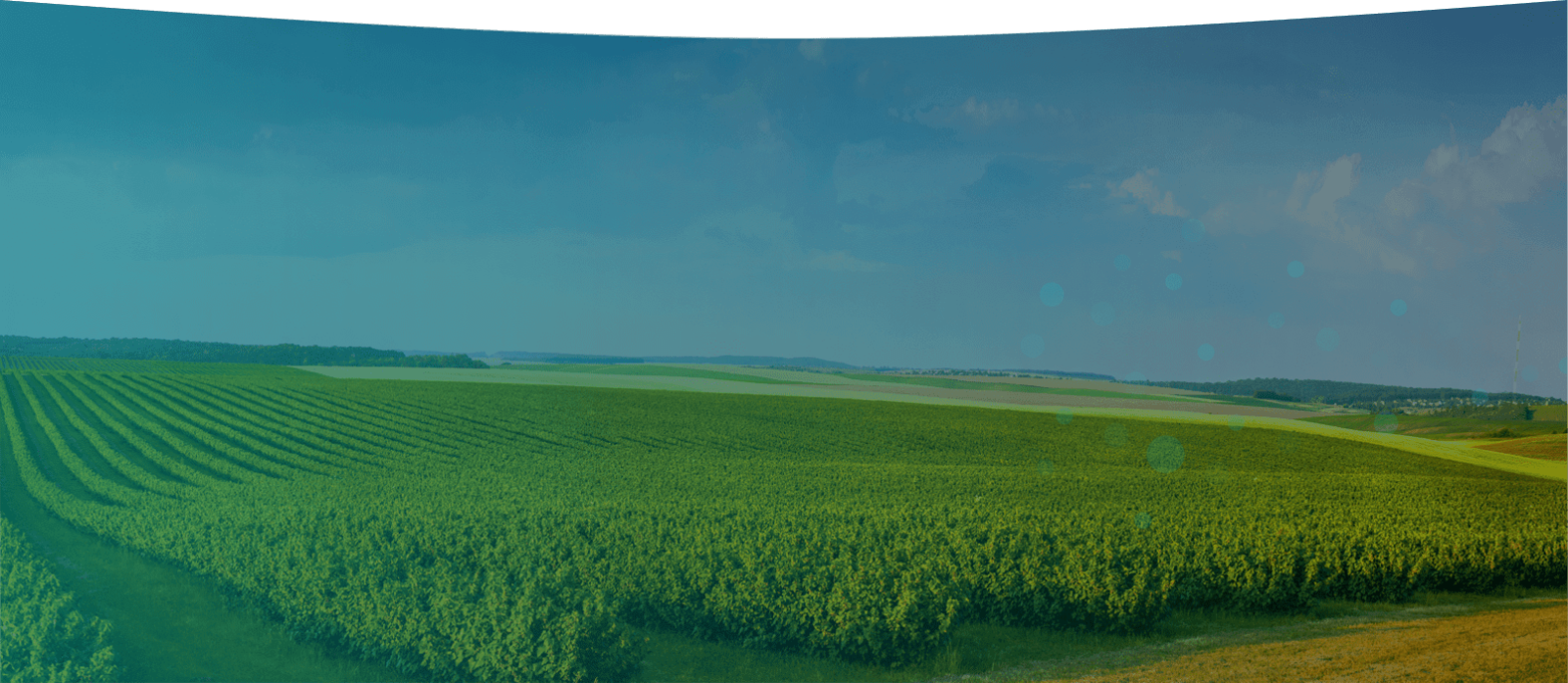
Advanced LiDAR Technology for Complex Environments
Innoviz LiDAR technology enables heavy machinery to operate in harsh, complex conditions. This ability increases the safety and quality of work environments for employees, and helps companies complete projects faster at a fraction of the cost. Discover how companies operating heavy machinery in agricultural and industrial settings can benefit from advanced LiDAR technology from Innoviz.
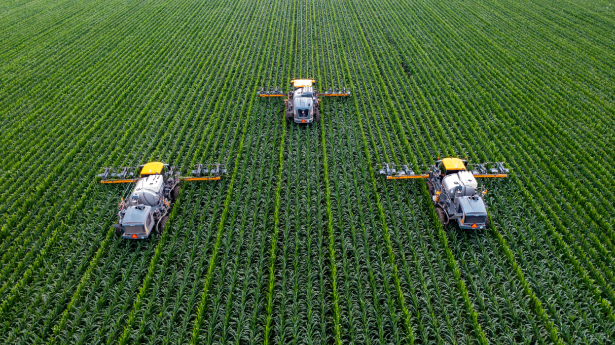
Smart Farming: The Future of Agriculture
Using LiDAR in agriculture applications allows farmers to equip drones with Innoviz’s lightweight LiDAR sensors to quickly survey land conditions, and tractors can operate autonomously with Innoviz’s dense 3D point-cloud LiDAR data. Innoviz technology supports the automation of labor-intensive tasks, such as tilling and harvesting, proving how smart farming is the future of agriculture.
Complemented by Innoviz’s advanced perception software, Innoviz’s LiDAR data improves operational safety by helping tractors identify people or obstacles in their path, avoid accidents, and better estimate driving conditions. The reliability of Innoviz technology enables long-lasting automated guided vehicles (AGVs) to work under any condition and cope with every required farm application.
Pairing LiDAR & Perception Software for AGVs
Complemented by Innoviz’s advanced perception software, Innoviz’s LiDAR data improves operational safety by helping tractors identify people or obstacles in their path, avoid accidents, and better estimate driving conditions. LiDAR agriculture applications are useful for a variety of farming types and create an efficiency not seen before in the agricultural sector. The reliability of Innoviz technology enables long-lasting automated guided vehicles (AGVs) to work under any condition and cope with every required farm application.
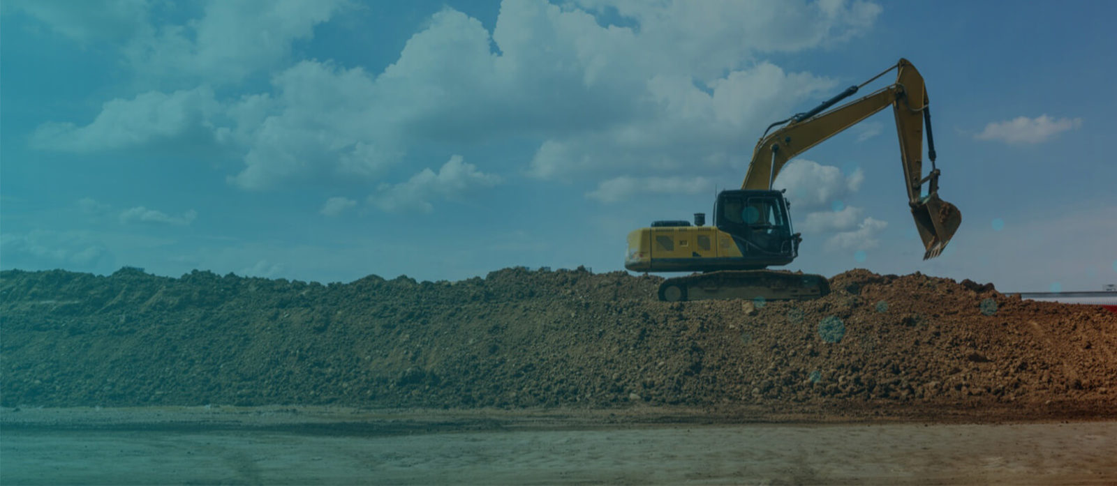
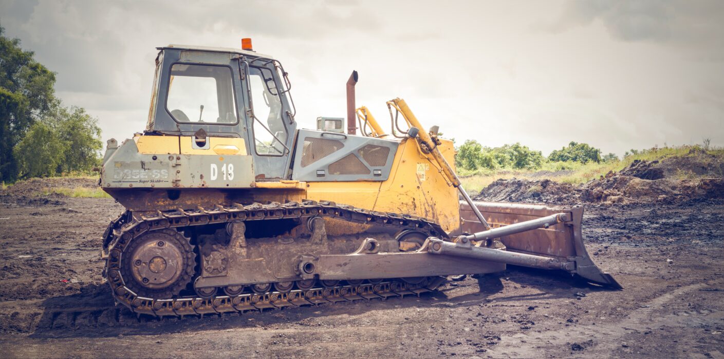
Construction and Mining Automation
Innoviz’s high-resolution LiDAR technology can be used to map out a construction or mining site and provide real-time 3D data for localization to ground vehicles as the terrain changes during operations. The LiDAR system returns multiple reflections per pixel and is resilient to ambient conditions, which is critical for worker and pedestrian safety.
Construction and mining sites are often difficult to navigate due to dust, extreme weather, and obstacles (i.e. debris, uneven terrain). When combined with Innoviz’s advanced perception software, Innoviz’s LiDAR technology enables industrial companies to monitor progress and identify any potential problems before they become costly.